Our Services
Our Services
We cater to all client levels, offering a relaxed but efficient service that will leave you with a good understanding of your project. You will know what to expect, and we aim to eliminate any surprises.
We have many projects and years of experience across the greater Waikato, Hauraki plans, Thames Coromandel, Bay of Plenty, and Auckland, including Waiheke and Great Barrier islands.
A few of the services we provide are:
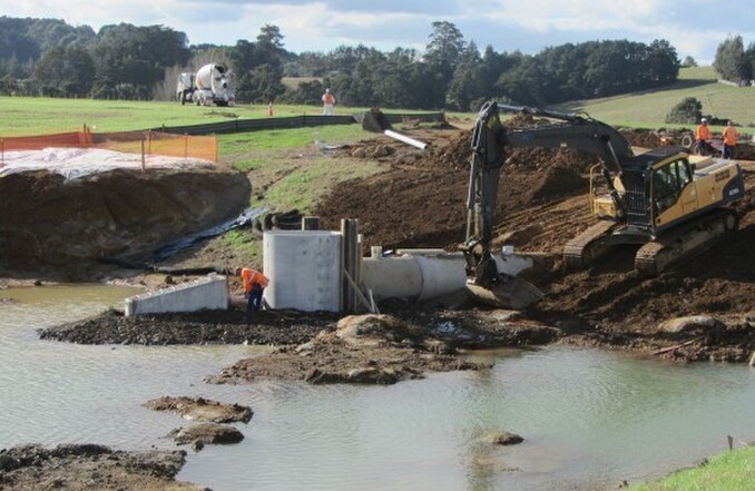
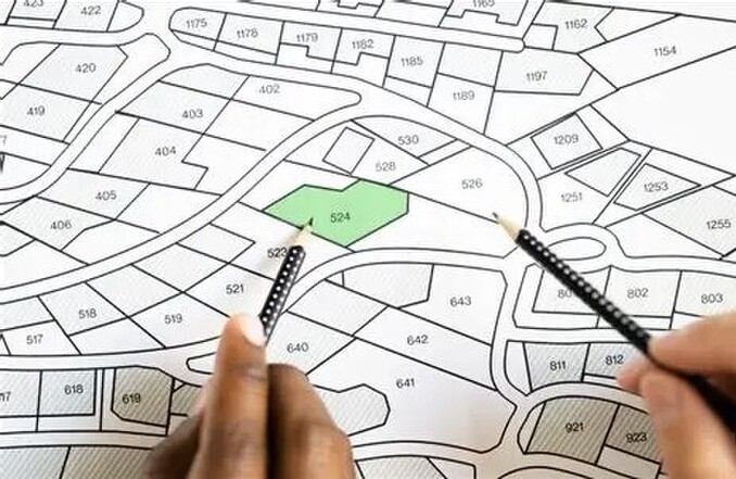
Mapping, building set outs, cadastral surveys, height to boundary surveys, as-built surveys, topographic and drone surveys. Natural boundary definition and boundary re-establishment. Removal of limitations on titles, unit title and subdivision surveys, planning consents, civil engineering design. Civil works scheduling, costing, and contract management.
Our services are vast, with land development being a specialty. We make the most efficient use of your land, tailoring the design to your preferences whilst saving you money on civil construction and assisting in achieving the best return on investment. Developers repeatedly choose our services and have us manage their developments from conception to completion.
Contact us today for a consultation.
To make a start on your subdivision or land development, or to talk to us about any of the services we offer, get in touch today. It’ll be great hearing from you.


